Incorporating the Art, Science and Technology of Map Making with Innovative 3D design for Infrastructure.
Drafting has changed over the years, morphing into specialised streams and softening the boundary between engineer/architect and draftsperson. At ArtyCarto we have the experience and understanding to handle your requirements, from simple floor plans to cadastral mapping, from electrical to 3D modelling. ...
At ArtyCarto we pride ourselves on our long association with various industries and changing trends. We are responsive designers, listening closely to the needs of our clients. ...
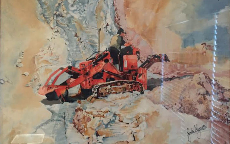
In this age of technology, ‘real art’ or ‘old school’ art is somewhat precious. It gives ArtyCarto much delight to offer commissioned drawings and paintings for visual pleasure and satisfaction. ...
ArtyCarto originated from the combined elements of fun (sometimes serious) visual design, and the need to describe function accurately using real world measurements and engineering.
At ArtyCarto, the design of visuals for presentation or illustration is created by merging ‘old school’ art training with digital graphics solutions. ‘ArtyCarto’ can create your flyers, brochures, presentation material and other promo publications with delight and accuracy, in a timely fashion.
For Infrastructure projects, we use Autodesk Revit to produce 3d and 2d plans, schematics and technicals. Interactive 3D is the way of the future and used for major construction projects, also lending itself to mining superstructure.
Microstation v8i is perfect for manipulating cadastral, topographical or laser originated data (such as Lidar). GIS files are easily imported into this software and manipulated to produce working plans, sections and other relevant material.
Revit MEP (Mechanical, Electrical and Piping) is the answer to fast and efficient 3D modelling for infrastructure purposes relating to the construction, mining and commercial building industries.
Microstation v8i also has 3D capacities and can be used to import cadastral, geographic and laser scanning data into for required manipulation.
In addition to graphic design, ArtyCarto offers original art – using acrylic paint on canvas we create impactful abstract art using found objects and the natural world for inspiration. Works can be commissioned or purchased directly from this site.
For Infrastructure projects, we use Autodesk Revit to produce 3d and 2d plans, schematics and technicals. Interactive 3D is the way of the future and used for major construction projects, also lending itself to mining superstructure.
Microstation v8i is perfect for manipulating cadastral, topographical or laser originated data (such as Lidar). GIS files are easily imported into this software and manipulated to produce working plans, sections and other relevant material.
In addition to graphic design, ArtyCarto offers original art – using acrylic paint on canvas we create impactful abstract art using found objects and the natural world for inspiration.
"I would strongly recommend her services to any business or organisation aiming to develop promotional and advertising material to enhance their operations" ...